
[Home][About the UIRW][Fund Raising] [Water Sampling] [Maps][Photo Tour] [Publications] [Links] [Partners]
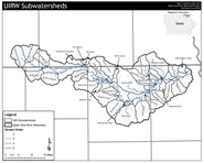
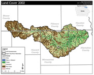
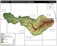
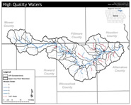
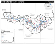
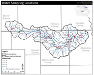
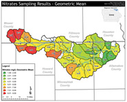
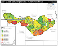
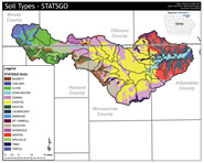
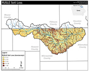
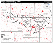
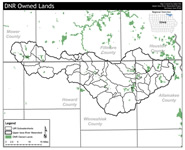
Maps
Click on a map title to view a larger version in a new window.
|
|
|
|
|
|
|
|
|
|
|
|
|
|
|
|
|
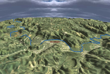
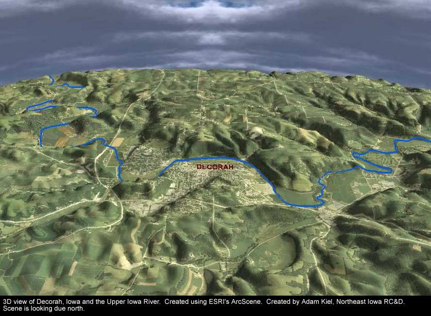
3D View of the Upper Iowa River at Decorah (Created using GIS) |
|
| |
||
