
Gallery & Online Store
Yellow River Water Trail Map & Guide
$5.00
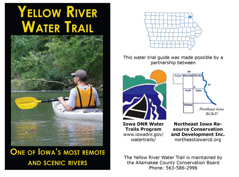
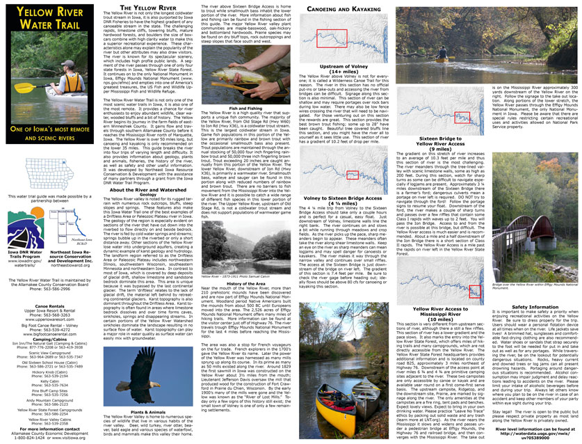
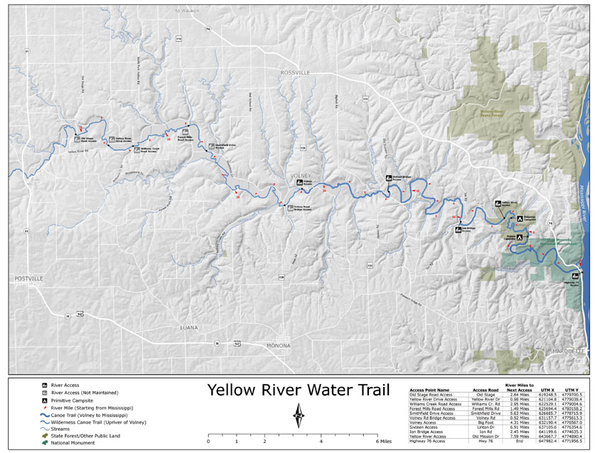
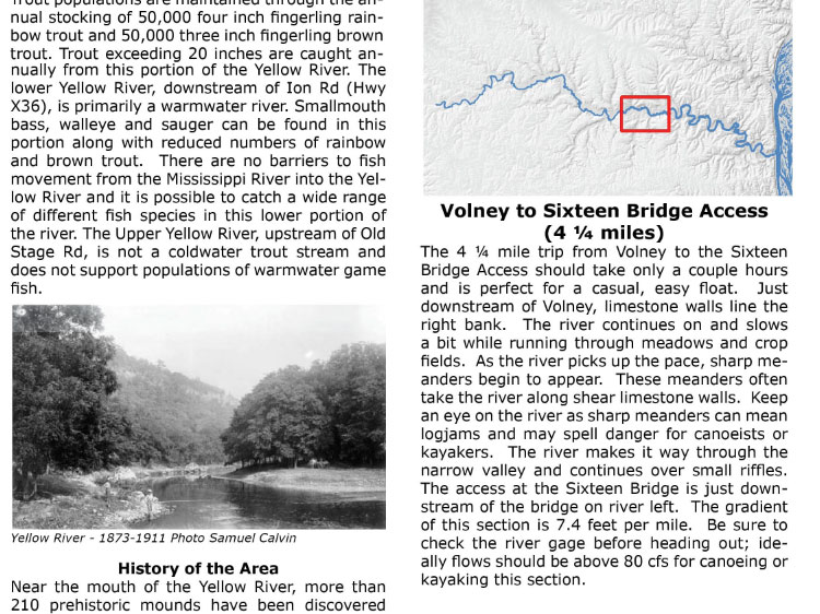
Use this guide to plan your paddling trip down one of Iowa’s most remote water trails. Located in the far northeast corner of Iowa, the Yellow River Water Trail meanders through forested hillsides, rugged limestone outcroppings and a rural countryside far removed from noise and people. The pocket-sized guide provides information on river mileage, access points, and campgrounds, as well as background on the geology and history of the area. Individual sections of the water trail, ranging from four to fourteen miles, are described and mapped in detail.
*Updates & Corrections
June 2020: The “Prairie” primitive campsite no longer exists due to flooding.
The guide is also available for download in PDF format, or for pick up at no-charge from several Northeast Iowa locations.
Your purchase of this map through our website directly benefits the watershed and water trail projects that Northeast Iowa Resource Conservation & Development has worked to develop since 1983. Northeast Iowa RC&D is a 501(c)(3) non-profit organization located in Postville, IA.
| Dimensions | 22″ x 17″, folded to 3.5″ x 5″. |
|---|---|
| Paper | 70lb, Gusto Satin Text Paper |
| Published | 2006 |
| Shipping | First Class Mail, usually arriving within 3-7 days. |
Related products
-
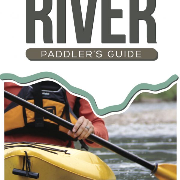
Upper Iowa River Paddler’s Guide
$8.00 -
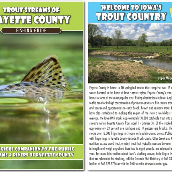
Trout Streams of Fayette County – Map & Fishing Guide
$5.00 -
 This product has multiple variants. The options may be chosen on the product page
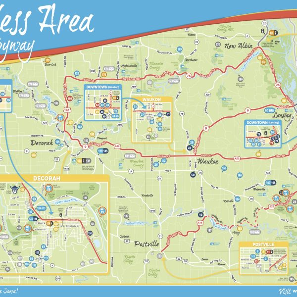
Scenic Byway Maps
$0.00