Upper Wapsi River Watershed Resiliency Plan
Project Overview
The Upper Wapsipinicon River Watershed Resiliency Plan was developed by Northeast Iowa RC&D on behalf of the Upper Wapsi River Watershed Management Authority (WMA) Board between February 2017 and July 2019, with input from dozens of contributing partners who conducted research, analyzed opportunities, facilitated public input and recommended strategies and actions. The WMA Board assisted with many aspects of the plan’s development, including community outreach, engagement, and education, as well as content development and review. They ultimately approved the plan and continue to actively work toward its implementation.
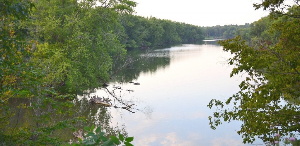
The Upper Wapsipinicon River Watershed covers over a million acres and extends from Southeast Minnesota into and through Eastern Iowa to Anamosa, Iowa. Land use in the watershed is dominated by agricultural production, which utilizes more than 85% of the land area, but the river corridor itself, which boasts floodplain forests and wetlands, steep bluffs, public lands, and wildlife habitat, has been, and continues to be, the focus of public acquisition, native habitat preservation and restoration, and natural-resource-based recreation.
Learn more and read the resiliency plan at: https://upperwapsi.org.


