Gallery & Online Store
Upper Iowa River Paddler’s Guide
$8.00
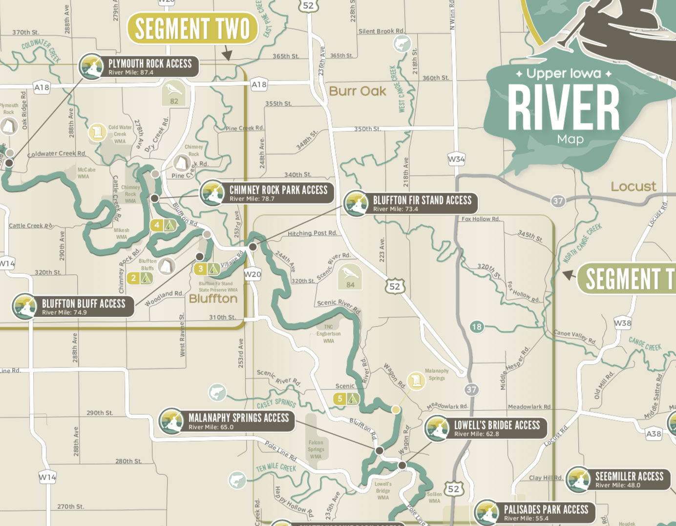
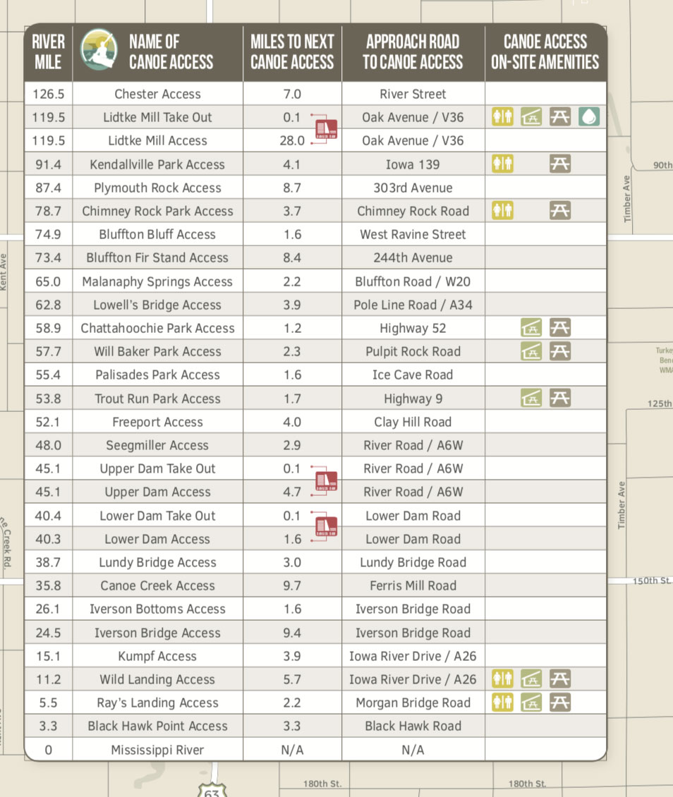
Plan your day trip or your weekend paddle adventure with this guide to the Upper Iowa River in Northeast Iowa. The guide provides information on river mileage, access points, campgrounds, and more. Individual sections of the river are described and mapped in detail.
The guide is also available for pick up at no-charge from several Northeast Iowa locations. A downloadable PDF of the Upper Iowa River Paddler’s Guide is available and on the Upper Iowa River Alliance website, you will find our interactive map of the Upper Iowa River.
This Upper Iowa Canoe Guide was developed through the Upper Iowa River Alliance and designed by Northeast Iowa Resource Conservation & Development (RC&D) with input from the Iowa DNR Fisheries Bureau, Iowa DNR Wildlife Bureau, local landowners, Iowa Natural Heritage Foundation, local livery owners, Decorah Park and Recreation and river users. This guide was made possible through generous contributions and grants from The Depot Outlet, Winneshiek County Community Foundation, Winneshiek County Conservation Board, Allamakee County Community Foundation, Howard County Community Foundation, Howard County Conservation Board, Winneshiek County Convention & Visitors Bureau, Allamakee County Economic Development & Tourism, Iowa Department of Transportation (DOT) – Iowa Byways Sustainability Project / Driftless Area Scenic Byway and through the Iowa Tourism office.
Your purchase of this map through our website directly benefits the watershed and water trail projects that Northeast Iowa Resource Conservation & Development has worked to develop since 1987. Northeast Iowa RC&D is a 501(c)(3) non-profit organization located in Postville, IA.
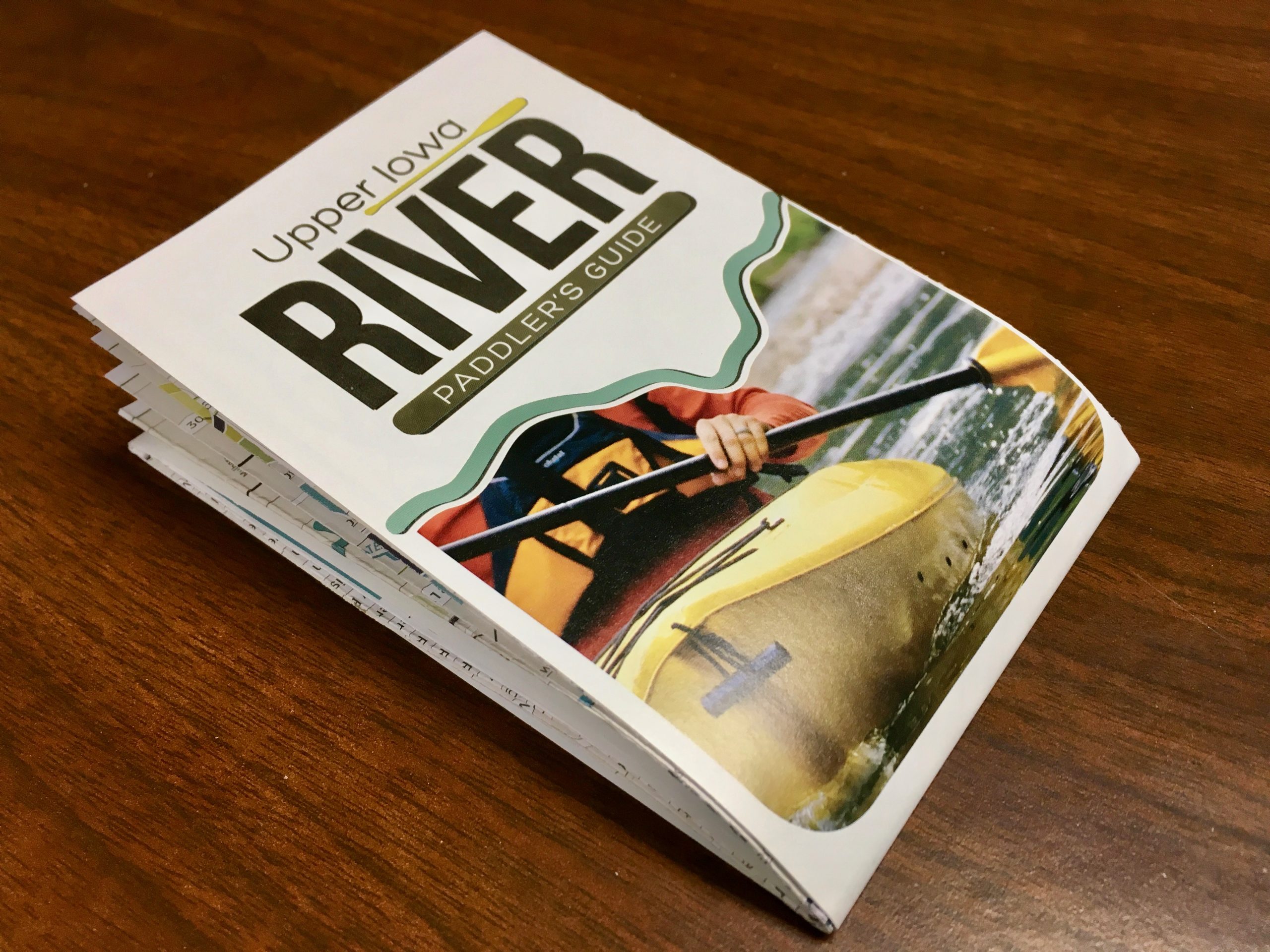
| Dimensions | 33″ x 17″, folded to 3.75″ x 5.75″. |
|---|---|
| Published | 2017 |
| Shipping | First Class Mail, usually arriving within 3-7 days. |
