
Gallery & Online Store
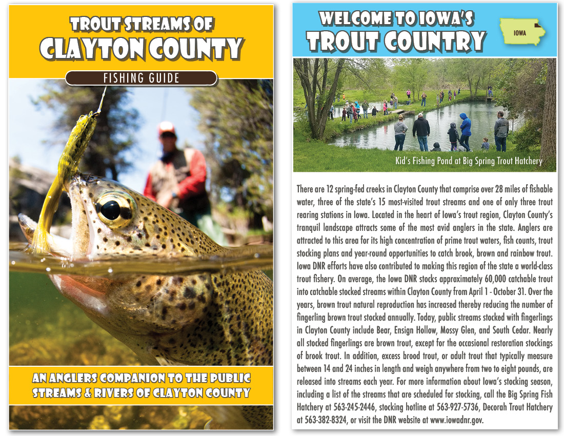
Trout Streams of Clayton County – Map & Fishing Guide
$5.00
An Anglers Companion to the Public Streams & Rivers of Clayton County.
This pocket-sized guide provides a wealth of information about Clayton County’s 12 spring-fed creeks that comprise over 28 miles of fishable water, three of the state’s 15 most-visited trout streams and one of only three trout rearing stations in Iowa.
The guide includes 9 individual trout stream maps that display walk-in fishing access points, parking lots, campsites, trout stiles, park amenities, public land, stream descriptions and stream length. The publication also looks to address common misconceptions and valuable information about Iowa’s fishing regulations, stream classifications and laws pertaining to public and private land fishing. Information about trout stocking, common fly hatches, and local places of interest are featured in the guide as well.
Funding for this trout guide was provided by Strawberry Point Economic Development, Hawkeye Fly Fishing Association, Dubuque Fly Fishers, Iowa Tourism, and Clayton County Conservation. Mapping and design of the guide was completed by the team of anglers at Northeast Iowa RC&D, with input and support from the Iowa DNR Fisheries Management, Clayton County Conservation, Turkey River Recreational Corridor (TRRC), and River Bluffs Scenic Byway.
The guide is also available for download in PDF format or for pick up at no-charge from several Northeast Iowa locations.
Trout Streams of Clayton County Map & Fishing Guide (2025) (PDF: 14MB)
Your purchase of this map through our website directly benefits the watershed projects that Northeast Iowa Resource Conservation & Development has worked to develop since 1987. Northeast Iowa RC&D is a 501(c)(3) non-profit organization located in Postville, IA.
| Dimensions | 22″ x 17″, folded to 3.5″ x 5″. |
|---|---|
| Paper | 70lb, Gusto Satin Text Paper |
| Published | 2019 |
| Shipping | First Class Mail, usually arriving within 3-7 business days. |
Related products
-
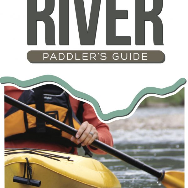
Upper Iowa River Paddler’s Guide
$8.00 -
 This product has multiple variants. The options may be chosen on the product page
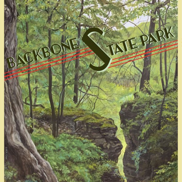
Backbone State Park – Crevice
Price range: $3.99 through $9.99 -
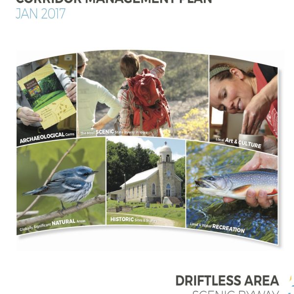
Driftless Area Scenic Byway Corridor Management Plan
$50.00